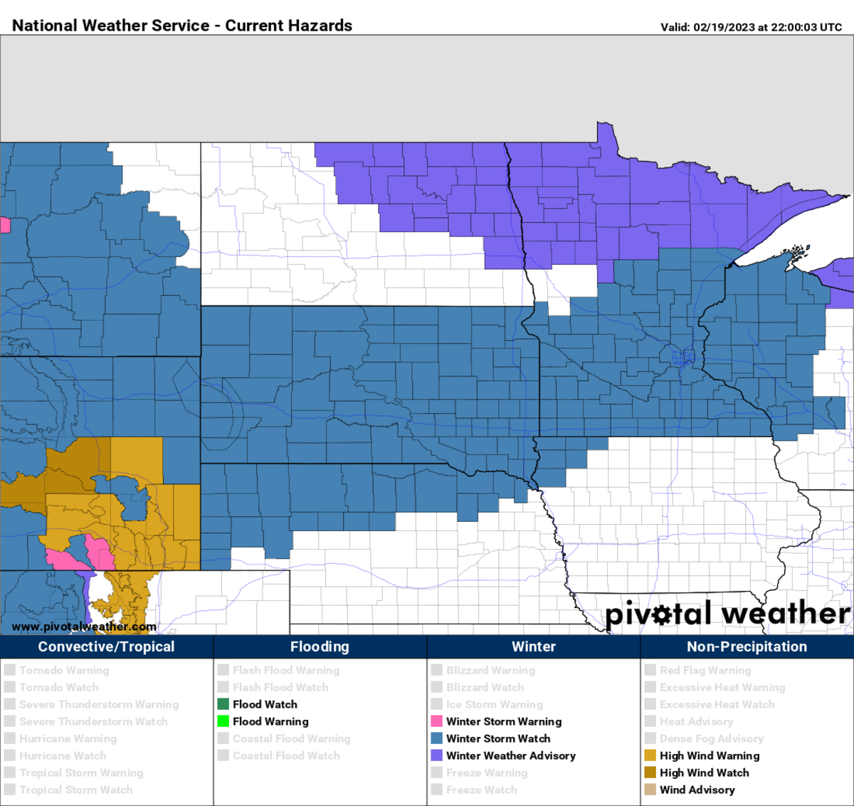
Look out, Minnesota, the big one might be coming. All indications continue to suggest that the winter storm set to impact Minnesota Tuesday through Thursday this week is going to be a monster.
While the National Weather Service isn't issuing specific snowfall forecasts quite yet, they have not been shy about talking about how this could be a high-end weather event that produces up to two feet of snow in some locations.
Wave 1: Tuesday-Wednesday
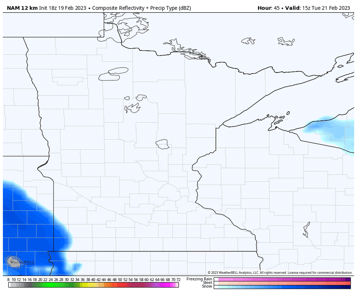
The first wave of the storm will be Tuesday into Wednesday morning, where a narrow band of intense snow could accumulate up to 5-9 inches, according to the NWS.
"The current forecast continues to highlight a band of 5 to 9 inches of snow from Western MN along the MN river valley and into the Twin Cities metro by Wednesday morning. Depending on the banding structure and placement, a few double digit totals cannot be ruled out at this time," the NWS says.
Wave 2: Wednesday-Thursday
After a brief stoppage Wednesday morning, the more robust second wave will arrive Wednesday afternoon and dump snow while 30-40 mph howling winds produce blowing and drifting snow.
"This will produce another 8 to 12 inches of snow, with locally 15 inches possible.
By the time the storm is all said and done, the totals could be epic. Here's what you get when you average out the models. Yep, that's a potential bullseye over the Twin Cities metro.
"In addition, northeast winds ramp up on Wednesday and turn to the northwest during this second part of the storm, with wind gusts of 30 to 40 mph possible. This would result in blowing and drifting snow and has the potential for blizzard conditions across western and southern Minnesota," the NWS says.
Stark wording from the NWS
"This may end up as the most impactful system of the season, which is impressive considering the Holiday Blizzard in December and the early January system that led to a 12 to 16 inches of wet snow across the Twin Cities," the NWS Twin Cities warns.
"This is a very remarkable set up that will will produce widespread 8"+ of snow with the potential blizzard conditions Wednesday/Thursday. Significant travel impacts are likely from Tuesday evening through Friday afternoon. Extreme travel impacts are possible Wednesday evening into Thursday as main system moves through. If you're traveling this week I suggest you pay close attention to the forecast over the next 24 hours and plan accordingly. This is not once a Winter type of event so please do not let your guard down during the lull on Wednesday. The bulk of the snow will arrive with the second round of snow."


 English (United States) ·